
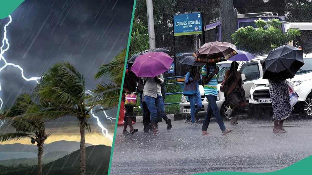
A Six-Hour Window of Danger
The Nigerian Meteorological Agency (NiMet) issued a severe weather alert on Friday, 11 September 2026, covering 23 states and valid between 5:50 pm and 11:50 pm local time. The agency confirmed that severe thunderstorm cells had already been detected over Cameroon and several Nigerian states before the advisory was published, meaning the threat was not theoretical — it was already forming. States where activity had been observed at the time of the alert included Borno, Yobe, Kaduna, Bauchi, Plateau, Imo, Rivers, Edo, Ondo, Oyo and Abia.
NiMet warned that the system was expected to push westward over the following one to six hours, drawing a much wider band of territory into the danger zone. That compressed timeline left little room for delay. Residents in affected areas had, at most, a matter of hours to prepare before conditions deteriorated significantly.
Which States Are in the Path of the Storm
The agency identified 23 states likely to experience the worst of the weather as the system tracked westward. The full list spans the north, the Middle Belt and the south of the country, underscoring just how broad this weather event was. Yobe, Bauchi, Taraba, Jigawa, Kano, Kaduna, Katsina, Zamfara, Kebbi and Sokoto were all named in the north. Benue, Kogi, Kwara and Niger featured for the Middle Belt. In the south, NiMet flagged Enugu, Ebonyi, Cross River, Rivers, Edo, Ondo, Ekiti, Bayelsa and Lagos.
The geographic spread is significant. This is not a localised squall confined to one geopolitical zone — it is a system capable of disrupting daily life from Sokoto to Lagos within a single evening. Nigerians travelling between states or commuting late on Friday faced the greatest exposure.
The Specific Risks NiMet Identified
NiMet was precise about the hazards attached to this alert, and each one carries real consequences for lives and property. Strong winds were expected to precede the thunderstorms themselves, capable of displacing unsecured outdoor objects and damaging weak structures and tree branches. That sequence matters: the wind arrives first, often before residents realise the full storm is imminent.
Localised flash flooding was flagged as a particular concern for low-lying and flood-prone communities, which in Nigeria’s context means a large number of densely populated urban neighbourhoods. The agency also warned that lightning posed a direct risk to human life and could damage property, while moderate rainfall was expected to reduce road visibility and create slippery driving conditions. Aviation operations, NiMet noted, could face disruption across affected corridors.
What NiMet Is Asking the Public to Do
The agency’s guidance was straightforward and practical. Residents were told to secure loose items outdoors before the storms arrived, stay away from open spaces and tall trees during the event, and disconnect electrical appliances where possible. NiMet was direct in its warning: “Stay away from tall trees and weak structures during strong winds and thunderstorms.” Motorists received a specific caution to avoid flooded roads and fast-flowing water entirely, rather than attempting to cross them.
NiMet urged all Nigerians in the 23 affected states to monitor its official forecasts and weather alerts continuously as conditions developed through the evening. Given the speed at which the system was expected to move, that advice was not bureaucratic filler — real-time updates could be the difference between a close call and a fatality for someone caught outdoors or on the road.
The Broader Flood Threat: Lagdo Dam in the Background
Friday’s thunderstorm alert did not arrive in isolation. It came against the backdrop of a separate but related threat that has been building for weeks. The federal government had already issued an alert to residents in 11 states about the imminent release of water from the Lagdo Dam in Cameroon, a perennial source of downstream flooding in Nigeria’s northern and Middle Belt states. The National Emergency Management Agency (NEMA) conducted a flood simulation exercise in Adamawa State specifically to strengthen preparedness ahead of that release.
NEMA Director-General Zubaida Umar, represented at the Adamawa exercise by Air Commodore B. A. Usman, Director of Search and Rescue, noted that Nigeria was no longer waiting for disasters to strike before acting — a welcome shift in posture, even if the underlying vulnerabilities in flood-prone communities remain largely unaddressed. The combination of Lagdo Dam discharge risk and widespread thunderstorm activity puts Nigeria’s emergency response infrastructure under considerable pressure heading into the latter part of the rainy season.
Why This Alert Deserves Serious Attention
Weather alerts in Nigeria have historically been issued without the public engagement they warrant, partly because trust in official forecasting has not always been earned. NiMet’s alert on this occasion was specific in its timing, precise in its geography and concrete in its hazard descriptions — exactly the kind of communication that should prompt action rather than indifference. The six-hour window was tight, but it was enough time for residents who took the warning seriously to make meaningful preparations.
The scale of this event — 23 states, cutting across every major region of the country — is a reminder that Nigeria’s exposure to extreme weather is not a southern problem or a northern problem. It is a national one, and it demands a national response, from government at every level and from individual citizens alike. Checking NiMet’s official channels before travelling or settling in for the night on an evening like this is not overcaution. It is basic common sense.